From Brooklyneagle.com
From Bedford Historic District to Weeksville houses
The New York City Landmarks Preservation Commission has released an interactive story map called Preserving Significant Places of Black History to celebrate New York City’s African American history through designated landmarks and historic districts, including many in Brooklyn.
This story map highlights landmarks and historic districts that illustrate the experiences and achievements of African Americans through interactive maps, narrative text, images and multimedia content.
Among the Brooklyn landmarks highlighted in the story map are:
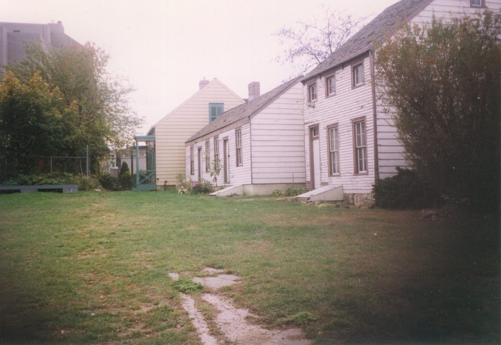
- Houses on Hunterfly Road in Bedford-Stuyvesant. These 19th century wood-frame houses were part of Weeksville, a community of Black homeowners established in 1838 and named for one of the original property owners, James Weeks. This community, in a remote and rural area, was a safe haven for Black families who fled Manhattan during the violent Draft Riots of 1863. Neglected for many years, the houses were restored in 2005 as part of the Weeksville Heritage Center.
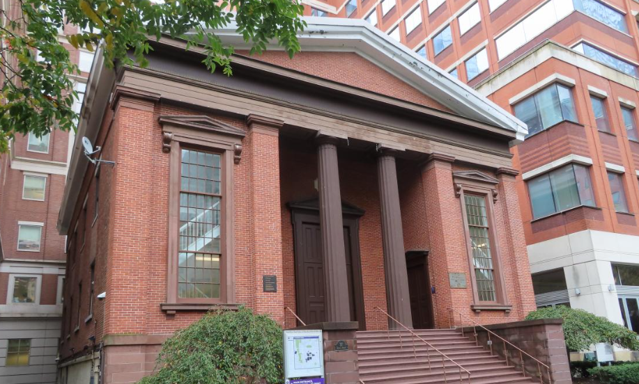
- The Bridge Street Methodist Church, originally the First Free Congregational Church, on Bridge Street in Downtown Brooklyn opposite MetroTech. The church was completed in 1847 and was purchased in 1854 by the African Wesleyan Methodist Church, the oldest continuously active African-American congregation in Brooklyn. The church, which once worked to help people fleeing from slavery, moved to Bed-Stuy in 1938. The building became part of Polytechnic Institute in 1955, and is now the Wunsch Building of the NYU Tandon School of Engineering.
- The former Colored School No. 3 on Union Avenue in Williamsburg. The building was built in 1879-1881 and is the only known “colored school” building remaining in the borough. After Brooklyn’s public schools were officially integrated in 1887, the school was renamed P.S. 69.
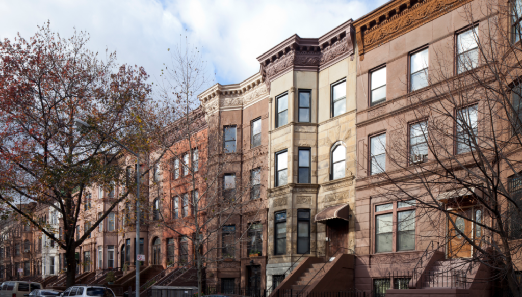
- The Bedford Historic District. Black middle-class families began buying and moving into rowhouses here. By the 1940s, residents included prominent African-American and Afro-Caribbean, doctors, business leaders, diplomats and veterans. Although primarily residential, the district includes two historic school buildings, the original Girls’ High School and Boys’ High School, both built in the 19th century.
All in all, the interactive story map highlights 75 individual landmarks and 33 historic districts throughout the city, designated in recognition of their associations with New York City’s Black history from before the Civil War through the Civil Rights Movement, designated properties where more recent scholarship post-designation has revealed important connections, and historic districts located within historically African-American neighborhoods as defined by census records over the past 50 years, totaling over 10,500 buildings and sites.
“LPC recognizes the critically important contributions of African-Americans and is committed to telling the complete story of New York City’s African American heritage,” said Landmarks Preservation Commission Chair Sarah Carroll. “With this story map, our goal is to provide greater accessibility to New York City landmarks and historic districts that reflect the contributions and achievements of African-Americans, and illustrate that the fight for racial equity and social justice is as relevant today as it has been over the course of the City’s history.”
“As we celebrate Black History Month and continue to strive for racial equity and social justice, it is important to recognize the history of the Black experience in New York City,” said Deputy Mayor Vicki Been. “Landmarking and designating historic districts are two ways that we honor and amplify the stories and contributions of the past, both good and bad, so we can learn from and build on our collective history. Ensuring that more New Yorkers can access and explore that history is a critical part of the process.”
Story map users can navigate through landmarks and historic districts across eras and neighborhoods and filter the interactive map to learn about their relationships by historical period, building type, and date of landmark designation.
Below the interactive map, users can explore in-depth historical context and information about highlighted designations, organized by the following historical eras: Colonial and Pre-Civil-War-era before 1865, the period of Reconstruction and Post-Reconstruction, between the Civil War and the Harlem Renaissance, the Great Migration and the Harlem Renaissance between 1914 and 1945, the Civil Rights Movement, and the late-20th century.
 Cyclones start second half with promotions and a call-up
  Cyclones gain a first-time fan